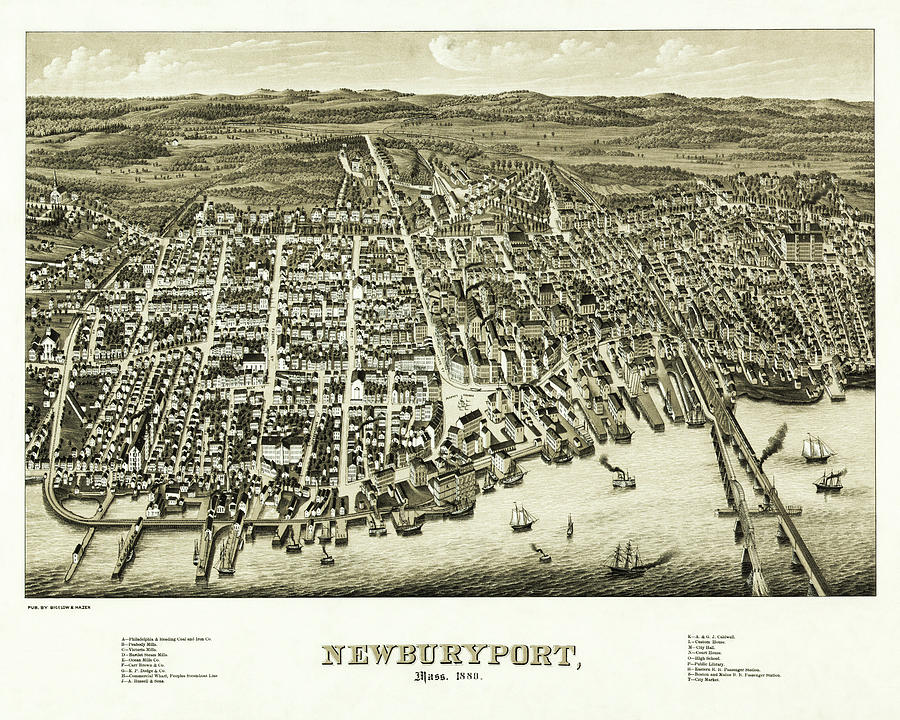
Vintage Map Newburyport Massachusetts 1880

by Carol Japp
Title
Vintage Map Newburyport Massachusetts 1880
Artist
Carol Japp
Medium
Photograph - Drawing Engraving
Description
An antique, vintage map from the year 1880, of an aerial view over the coastal city of Newburyport, Massachusetts. This wonderfully nostalgic piece of history is from the Public Domain, and was created by E.H.Bigelow and J.C.Hazen . The map also lists for reference notable public buildings, major manufacturing sites and mills located in the area at the time. The town is located about 35 miles north of Boston, sits on the mouth of the Merrimack River and had a population of around 13,000 when this map was created. This image has been restored and color corrected.
Uploaded
August 9th, 2021
Embed
Share
Comments
There are no comments for Vintage Map Newburyport Massachusetts 1880. Click here to post the first comment.


