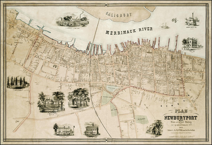
Newburyport Massachusetts Vintage Map 1851

by Carol Japp
Title
Newburyport Massachusetts Vintage Map 1851
Artist
Carol Japp
Medium
Photograph - Drawing Engraving
Description
An early, historical map of the Massachusetts original town of Newbury now divided into Newbury, Newburyport and West Newbury. This wonderfully nostalgic plan from an actual survey of the coastal city located on the mouth of the Merrimack River, was created and published in 1851 by Henry McIntyre of Philadelphia. Surrounding the main body of the map, a series of detailed illustrations show examples of landmark architecture of the area such as the Town Hall, J.Currier Jr Ship Yard and Merrimack House. This image has been reworked, color corrected and has a little hand blended texture.
Uploaded
September 28th, 2021
Statistics
Viewed 516 Times - Last Visitor from Wilmington, DE on 04/24/2024 at 2:13 PM
Embed
Share
Sales Sheet
Comments
There are no comments for Newburyport Massachusetts Vintage Map 1851. Click here to post the first comment.


