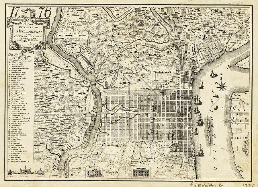
Vintage Map of Philadelphia Pennsylvania 1776

by Carol Japp
Title
Vintage Map of Philadelphia Pennsylvania 1776
Artist
Carol Japp
Medium
Photograph - Drawing Engraving
Description
A very early, historic street map of the city of Philadelphia, Pennsylvania. This detailed map from the public domain shows Philadelphia as it was in 1776. Included for reference, is a list and illustrations of notable locations throughout the city such as Bakers Alley, the President's House, Black Horse Alley, State House, City Hall and the Old Theatre.
Uploaded
July 18th, 2021
Statistics
Viewed 1,067 Times - Last Visitor from Romeo, MI on 04/24/2024 at 8:10 PM
Embed
Share
Sales Sheet
Comments
There are no comments for Vintage Map of Philadelphia Pennsylvania 1776. Click here to post the first comment.


