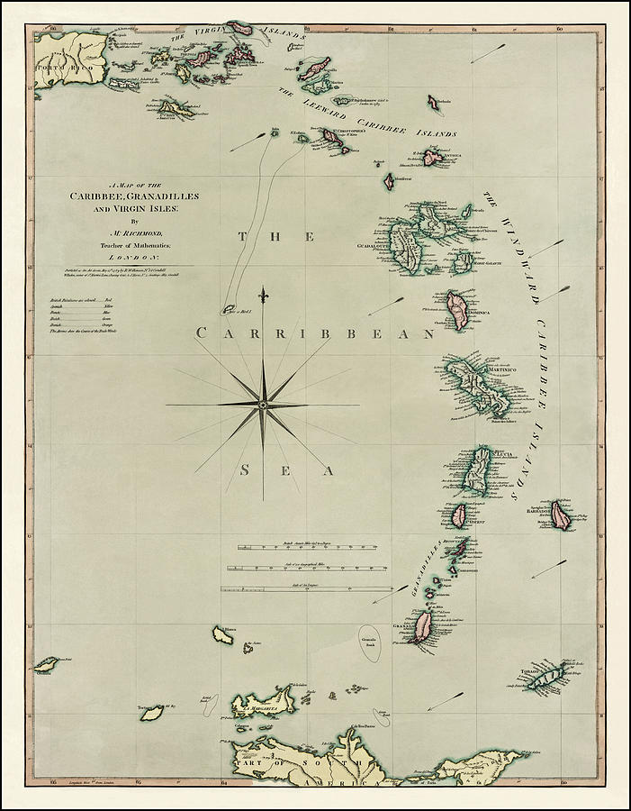
The Caribbean Vintage Historical Map 1789

by Carol Japp
Title
The Caribbean Vintage Historical Map 1789
Artist
Carol Japp
Medium
Photograph - Drawing Engraving
Description
A vintage, historical map of The Lesser Antilles region of the Caribbean (Caribbee), Granadilles and the Virgin Isles. This beautifully detailed antique map from the public domain was created by Mathew Richmond and published in 1789 by Robert Wilkinson, William Faden and John Harris. This reproduction image has been restored and color corrected.
Uploaded
August 10th, 2022
Statistics
Viewed 664 Times - Last Visitor from Wilmington, DE on 04/24/2024 at 2:13 PM
Embed
Share
Sales Sheet


