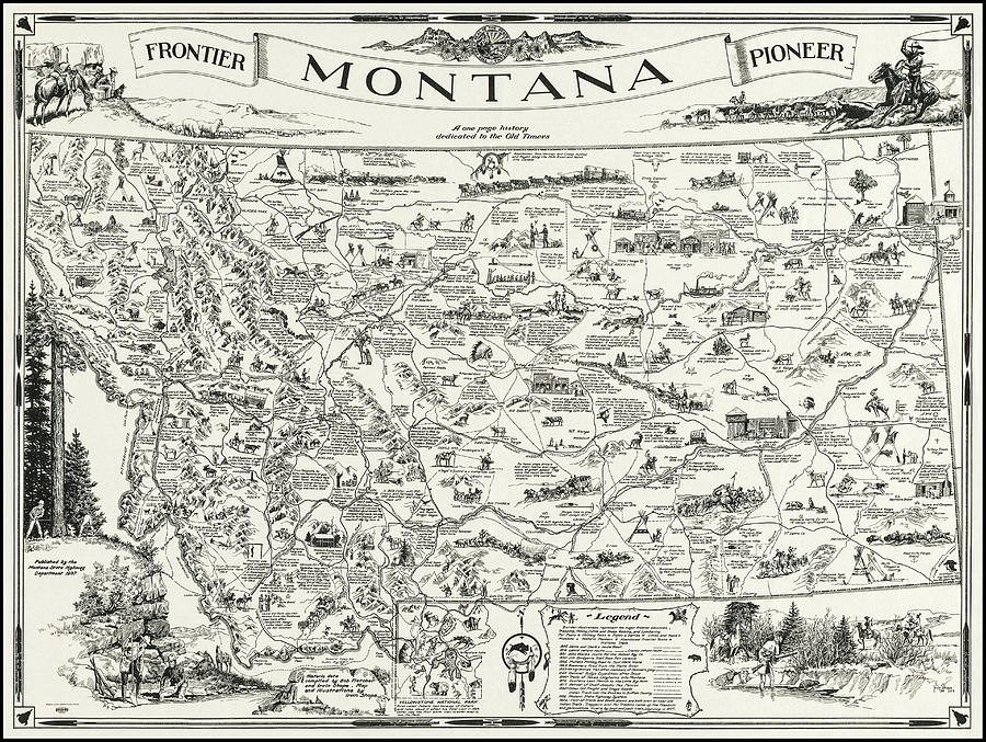
Vintage Montana Frontier Pioneer Map 1937

by Carol Japp
Title
Vintage Montana Frontier Pioneer Map 1937
Artist
Carol Japp
Medium
Photograph - Drawing Engraving
Description
A vintage Frontier and Pioneer map from the year 1937, of the State of Montana, showing a pictorial pioneer history of the land of Shining Mountains . This historical map from the public domain was compiled by Bob Fletcher and drawn by Irvin Shope, published by The Montana Department of Highways. Among the huge amount of detailed illustrations, the major frontier industries such as trapping, mining, sheep and cattle raising and lumbering can be seen. Also noted in the accompanying legend, are Military Forts, Abandoned Frontier towns, historic markers and trails and sites of major fights and battles. A separate insert depicts Yellowstone National Park. This image has been restored and color corrected.
Uploaded
September 12th, 2021
Statistics
Viewed 981 Times - Last Visitor from New York, NY on 04/19/2024 at 8:24 AM
Embed
Share
Sales Sheet
Comments
There are no comments for Vintage Montana Frontier Pioneer Map 1937 . Click here to post the first comment.


