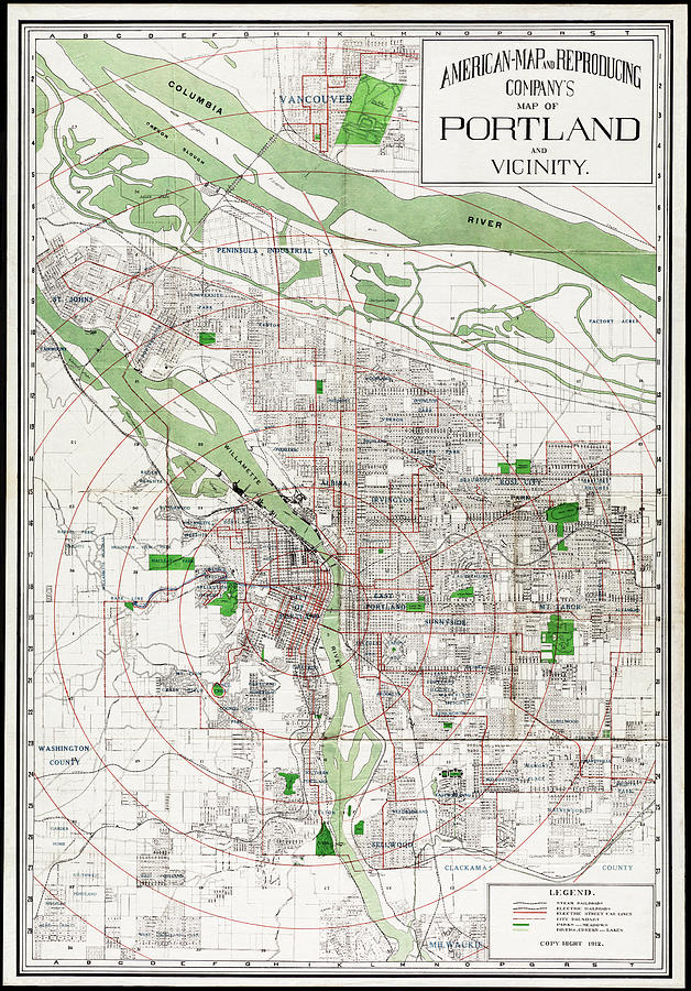
Vintage Map Portland Oregon and Vicinity 1912

by Carol Japp
Title
Vintage Map Portland Oregon and Vicinity 1912
Artist
Carol Japp
Medium
Photograph - Drawing Engraving
Description
A vintage map of the city of Portland, Oregon and vicinity. This detailed map from the public domain was published in 1912 and shows steam and electric railroads, street car lines, city boundary, parks, meaows, rivers, creeks and lakes.
Uploaded
July 26th, 2021
Embed
Share
Comments
There are no comments for Vintage Map Portland Oregon and Vicinity 1912. Click here to post the first comment.


