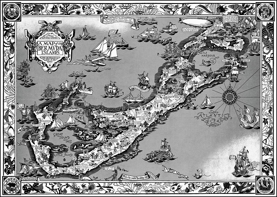
The Bermuda Islands Vintage Pictorial Map 1930 Black and White

by Carol Japp
Title
The Bermuda Islands Vintage Pictorial Map 1930 Black and White
Artist
Carol Japp
Medium
Photograph - Drawing Engraving
Description
A vintage pictorial map of The Bermuda Islands, created to encourage travel and tourism to the area. The wonderful map from the public domain is by Elizabeth Shurtleff, Helen F. McMillin and Elizabeth L. McMillin, lithography by The Tudor Press Inc. of Boston and published in 1930 by the Graphic History Association. Surrounding the map, a delightful series of illustrations show a variety of sea creatures. The map itself shows many different forms of transportation in use at the time, including horse drawn carriages and pirate ships. This reproduction map has been restored and converted to black and white.
Uploaded
June 24th, 2022
Statistics
Viewed 107 Times - Last Visitor from Cambridge, MA on 04/19/2024 at 5:58 AM
Embed
Share
Sales Sheet
Comments
There are no comments for The Bermuda Islands Vintage Pictorial Map 1930 Black and White. Click here to post the first comment.


