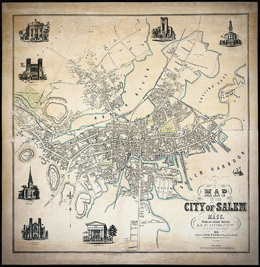
Historic Map of the City of Salem Massachusetts 1851

by Carol Japp
Title
Historic Map of the City of Salem Massachusetts 1851
Artist
Carol Japp
Medium
Photograph - Drawing Engraving
Description
An antique map from the year 1851 of The City of Salem, Massachusetts. This beautifully detailed map includes illustrations of well known historic Salem landmarks of the time such as City Hall, Eastern Railroad Station, South Church, East Church, The Court House, 1st Baptist Church and The North Church. This vintage map has been restored and has hand blended textures.
Uploaded
May 10th, 2021
Statistics
Viewed 389 Times - Last Visitor from Beverly Hills, CA on 04/13/2024 at 4:23 AM
Embed
Share
Sales Sheet
Comments
There are no comments for Historic Map of the City of Salem Massachusetts 1851. Click here to post the first comment.


